

Submarine earthquake geology: mapping and quantifying a surface rupture
ABSTRACT
On Earth, more than 70% of the seismicity occurs offshore. Submarine ruptures that reach the seafloor (i.e. the Earth’ surface) take part in the submarine landscape evolution on long time scales, while they can trigger devastating tsunami waves, on short time scales. Yet, the detailed characterization of a submarine rupture has never been accomplished owing to the limitations imposed by the submarine environment itself, the technological requirements to conduct detailed fieldwork, and the lack of observations prior to seismic events to identify the coseismic ruptures.
In this talk, I will present the work conducted along the submarine normal Roseau fault that broke into a Mw6.3 earthquake in the French West Indies (Les Saintes archipelago), on November 21, 2004. This work is performed in collaboration with J. Escartín, J. Billant, K. Istenic, N. Gracias, R. García, A. Arnaubec, D. Deplus, N. Feuillet, and the SUBSAINTES Science party.
This seismic event generated a tsunami wave that inundated the nearby islands’ coasts, with a maximum run-up of 3.5 m, indicating that the rupture reached the seafloor. Here, we aim at fully characterizing the submarine rupture characteristics: namely its geometry, displacement, but also to understand its link with surrounding erosion and sedimentation processes.
By combining AUV microbathymetry surveys and ROV observations acquired during the 2013 and 2017 ODEMAR-Saintes and SUBSAINTES oceanographic cruises, we document clearly the coseismic rupture at the base of the cumulative scarp. We also developed and applied Structure from Motion techniques specific to submarine environments in order to generate scaled 3D video reconstructions with image texture of the underwater outcrops, and quantify both the vertical and horizontal coseismic displacement.
This study demonstrates that detailed submarine field work using deep-sea vehicles can be conducted at spatial scales and resolutions similar to those on-land. It also opens the door to a systematic and detailed study of submarine ruptures elsewhere.
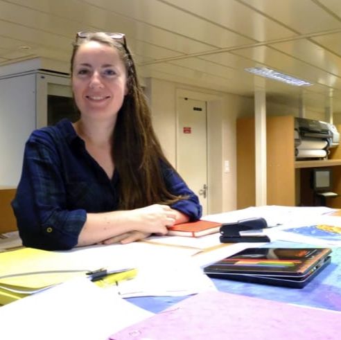
SPEAKER BIO
Since 2016, i am Assistant Professor at Université Nice Sophia Antipolis in the laboratory of Géoazur (CNRS, IRD, OCA). My research focuses on the characterization of the tectonic deformation of the Earth’s crust in the vicinity of converging plate boundaries. These plate boundaries produce the largest earthquakes and tsunamis, and promote vertical deformation of the crust (uplift or subsidence) that can increase the actual relative sea level rise in these areas that host more than 500 millions of people. Identifying and quantifying the tectonic deformation is therefore important and impose to look for geological markers both onland and offshore.
I started working offshore during my PhD thesis at Institut de Physique du Globe de Paris, and then during a 2 year postdoctorate at the Earth Observatory of Singapour. My work focused on the recent tectonic deformation of the Lesser Antilles arc, in the Caribbean, and of Eastern Indonesia. Markers of the deformation as faults or reefs were investigated offshore thanks to marine geophysical data including seismic reflection, bathymetry and back-scatter imagery.
Recently, I was part of the SUBSAINTES cruise (PI: J. Escartin, subsaintes2017.weebly.com), during which we investigated a normal fault that broke into a Mw6.3 earthquake in 2004, followed by a tsunami. With the ROV Victor (IFREMER) we were able to image the surface rupture of the submarine earthquake along >20 km, at a depth of 1200 m. Photogrammetry techniques applied to the ROV videos (technique developed in the framework of ANR Sersurf project) allowed us to reconstruct in 3D the seafloor, map and measure the surface rupture at an unprecedented resolution of a few mm.