The EMODNET-Geology project – harmonizing geological maps of the European seas
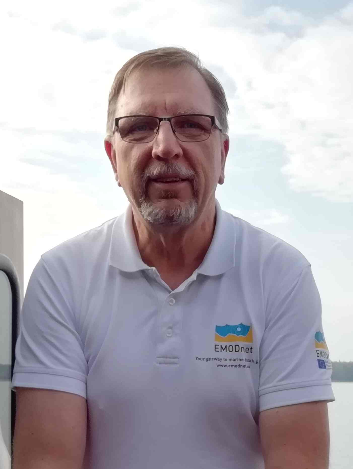
Henry Vallius
Geological Survey of Finland (GTK), Finland
ABSTRACT
Proper maritime spatial planning, coastal zone management, management of marine resources, environmental assessments and forecasting require good seabed maps. There is also a need to support the objectives to achieve Good Environmental Status in Europe's seas by 2020, as set up by the European Commission’s Marine Strategy Framework Directive. Consequently already in 2008 the European Commission established the European Marine Observation and Data Network (EMODnet), which is now in its third phase. The EMODnet concept is to assemble existing but often fragmented and partly inaccessible marine data into harmonized, interoperable and publicly freely available information layers which encompass whole marine basins. As the data and data products are free of restrictions on use the program is supporting any European maritime activities in promotion of sustainable use and management of the European seas.
The whole package of separate EMODNET- projects (“lots”) covers the marine disciplines geology, chemistry, biology, bathymetry, seabed habitats, physics, human activities, sea basin check-points as well as a data ingestion project.
In this third phase the EMODnet-Geology project is delivering integrated geological map products that include seabed substrates, sediment accumulation rates, seafloor geology including lithology and stratigraphy, geomorphology, coastal behavior, geological events such as submarine slides and earthquakes as well as marine mineral resources and as a new feature map products on submerged landscapes of the European continental shelf at various time-frames. All new map products are presented at a scale of 1:100,000 all over but finer where the underlying data permit. A multi-scale approach will be adopted whenever possible.
Discover Europe’s seabed geology at: EMODnet Geology: https://www.emodnet-geology.eu/
SPEAKER BIO
Henry Vallius is a marine geologist with a Ph.D. in geochemistry of Baltic Sea sediments and works as senior scientist at the Geological Survey of Finland. He has over 25 years of experience in marine science from research cruises in the Baltic Sea as well as the Atlantic Ocean. He acts as the coordinator of the EU funded EMODnet Geology project, which deals with collection and harmonization of marine data from European countries. He also chairs the EuroGeoSurveys Marine Geology Expert Group and has a position as adjunct professor in marine geology and marine geochemistry at Åbo Akademi University, Finland.


