SPECIAL SESSION #9
Generation of added-value Products from Multi-Frequency and Multi-Scale Satellite Remote Sensing Measurements
ORGANIZED BY
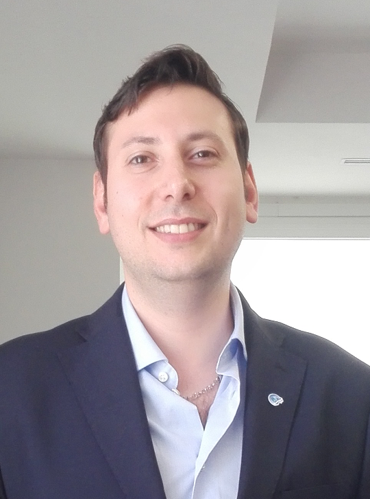
Andrea Buono
Università degli Studi di Napoli Parthenope, Italy
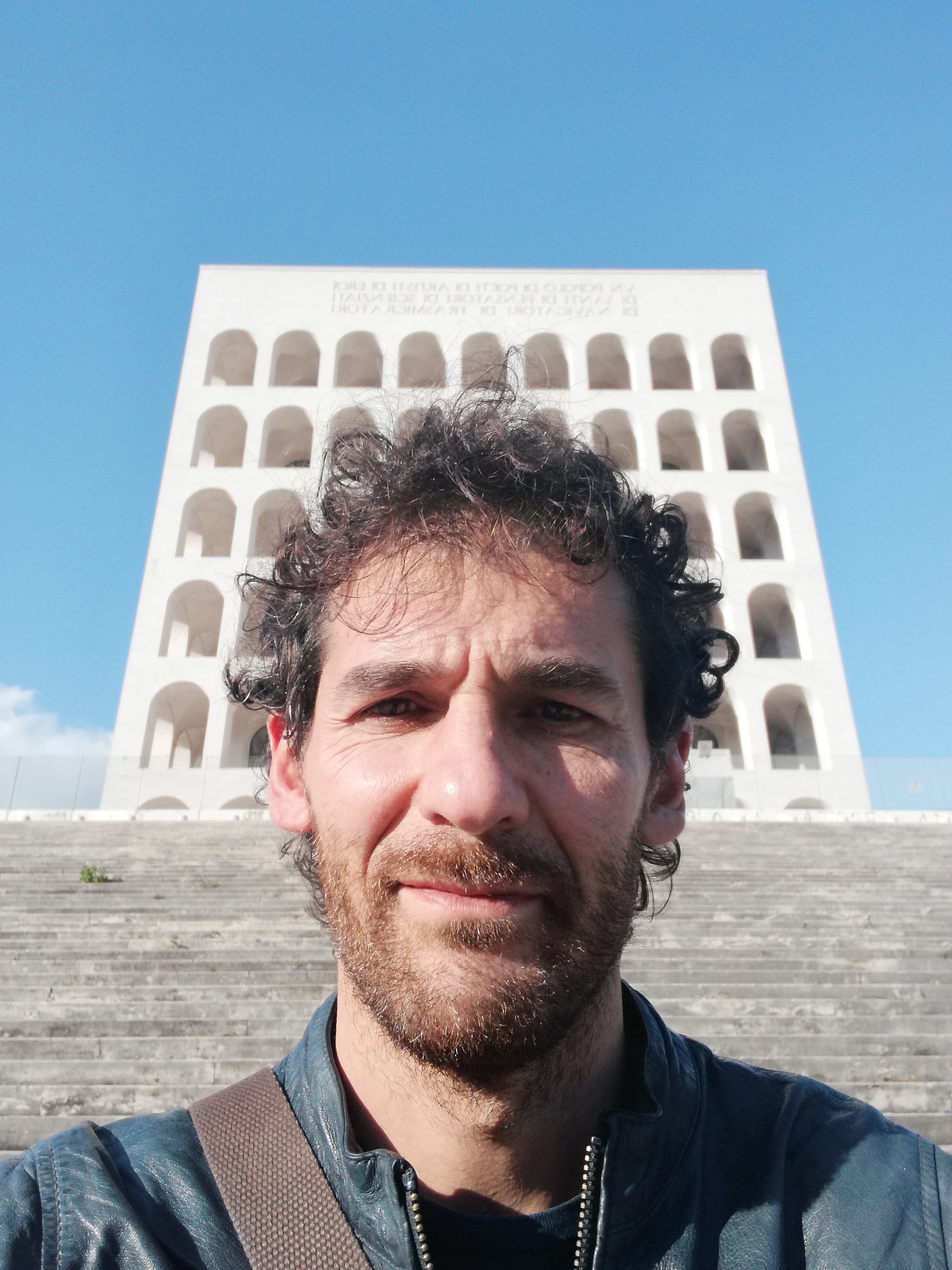
Giuseppe Grieco
Istituto di Scienze Marine, Consiglio Nazionale delle Ricerche, Italy
Domenico Schiavulli
European Organization for the Exploitation of Meteorological Satellites
ABSTRACT
Oceans represent an irreplaceable source of biodiversity and a key asset for economy. Nonetheless, this extraordinary source must be preserved since it is threatened by anthropogenic activities that are inducing irreversible changes in the ocean ecosystem. In this framework satellite remote sensing tools provides a cost-effective and long-term continuity to study those changes occurred in the recent past as well as to predict future trends. Nowadays, multi-source and multi-scale remote sensing satellite sensors are available that allow routinely providing measurements related to geophysical met-ocean parameters of interest. In this way, it is possible to overcome limitations associated to “ground” ocean measurements as spatial sparsity and small coverage. The combination of microwave satellite data collected at different scales and spatio-temporal resolutions from synthetic aperture radar, scatterometer, radar altimeter and global navigation satellite system – reflectometry with the corresponding set of optical imagery can provide an unprecedented level of useful information. Nevertheless, to fully explore the huge amount of multi-source measurements, advanced theoretical models and retrieval methods are needed. The latter are based on statistical approaches, on machine learning algorithms or on model-based physical methods. As a result, met-ocean products that can be derived from satellite remote sensing sensors include, but are not limited to, wind field, surface currents map, wave height, sea level, tides, rainfall rate, detection maps of natural (e. g., icebergs) and man-made (e. g., ships) targets, sea ice extent, cloud profile, sea surface temperature and salinity, ocean chlorophyll, etc.
Within this context, this special session is meant to attract original contributions that refer to the exploitation of microwave/optical satellite measurements collected at both local- and meso-scale to generate added-value ocean products. Original contributions may cover at least one of the following aspects: 1) the development of new models to interpret satellite data, new algorithms to extract advanced information and new ocean/weather monitoring products; 2) the improvement of existing models, algorithms and products in terms of accuracy, efficiency and applicability; 3) the proposal of new ways to integrate existing satellite technologies; 4) the proposal of new ways to enable novel applications.
Researchers and all stakeholders involved on these topics are welcome to submit papers and to attend this special session to build-up a network of people who is interested on working on marine awareness and ocean preservation by means of satellite remote sensing sensors.
ABOUT THE ORGANIZERS
Andrea Buono was born in Naples, Italy, in 1984. He received the B.Sc. and M.Sc. degrees in telecommunication engineering and the Ph.D. degree in information engineering from the Università di Napoli “Parthenope”, Naples, Italy, in 2010, 2013 and 2017, respectively. Since 2018, he has been Assistant Professor with the Università di Napoli “Parthenope.” He is an IEEE Senior Member and Associate Editor for IEEE Geoscience and Remote Sensing Letters. His main research interests are related to applied electromagnetic, including microwave scattering models, radar polarimetry, multi-polarization synthetic aperture radar measurements for ocean and coastal applications.
At the moment, Giuseppe Grieco is at the Istituto di Scienze Marine of the Consiglio Nazionale delle Ricerche since May 2021. He got his master degree in “Scienze
Nautiche – Indirizzo Oceanografico” from the Università degli Studi di Napoli Parthenope and his PhD in Environmental Engineering from the Università degli Studi
della Basilicata. Since 2014, his main scientific interests are related to the estimation of the sea state and the wind field from active microwave sensors, namely Synthetic Aperture Radars (SARs), scatterometers and GNSS-Reflectometry. He carried out this activity at the Agenzia Spaziale Italiana (ASI), the Royal Netherlands Meteorological Institute (KNMI) and the Institute of Marine Sciences of the Spanish National Research Council (ICM-CSIC), and now at ISMAR.
In the past he was involved in scientific activities aimed at retrieving the thermodynamic state of the atmosphere and some minor and trace gases tropospheric concentration from hyper-spectral measurements such as those acquired by the Infrared Atmospheric Sounding Interferometer (IASI) and similar instruments.
Domenico Schiavulli is presently a staff member at the European Organization for the Exploitation of Meteorological Satellites (EUMETSAT). He coordinates the Meteosat Third Generation (MTG) team for InfraRed Sounder (IRS) space and ground segment to be launched in 2024. His main responsibilities deals with management of cross-organizational team and relationship between EUMETSAT and external contractor and products users. He has a full system view on the technical aspects and operational meteorological missions. Previously, he used to work at Starlab, Barcelona, Spain and CNRS-GET laboratory at Observatoire Midi Pyrénées, Toulose, France as responsible of the GNSS-R scientific projects and operational developments.


