Artificial Intelligence and Deep Learning applications for environmental monitoring and preservation
ORGANIZED BY
Fabiana Di Ciaccio
Parthenope University of Naples, Italy
Paolo Russo
University of Rome "La Sapienza", Italy
Roberto Pierdicca
Università Politecnica delle Marche, Italy
Eva Savina Malinverni
Università Politecnica delle Marche, Italy
ABSTRACT
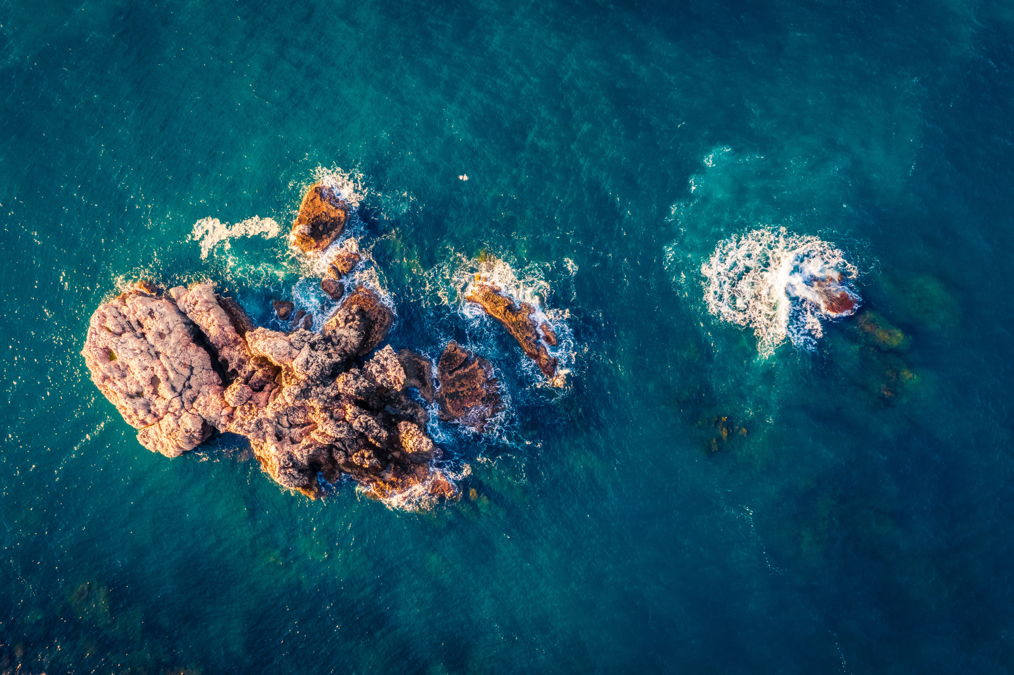
The widespread interest towards a sustainable and effective monitoring of the environment is increasingly demanding the development of modern and more affordable technologies to support or even replace the traditional time-consuming, high-cost sampling surveys at a multi-scale level.
Robotic systems have seen a huge employment in this context, as they constitute a fundamental data-gathering tool for scientists and allow for a greater understanding of the planet, usually without compromising the surrounding area. Moreover, they are benefitting from the recent enormous progresses achieved in Artificial Intelligence, with Deep Learning applications increasing at sight. This is giving a remarkable contribution to the scope, allowing to develop efficient, smart and low-cost solutions to support the monitoring operations at sea dealing with a wide variety of tasks in several working fields.
Considering the entire applications domain, new ideas, projects and works which leverage AI-based techniques to give a contribution in the marine environment monitoring and preservation are welcome in this session. This aims at providing the community with interesting findings and new perspectives on this very important topic, highlighting the great potential and flexibility of these methodologies.
TOPICS
This special session aims at collecting all the contributions broadening the knowledge on this field; in particular, potential Artificial Intelligence, Machine Learning and Deep Learning applications could interest, but are not limited to, the following:
- Marine and underwater sensor and data processing:
- Visual data, e.g., underwater target localization, detection, florae and fauna classification, etc.
- Acoustic or other kind of data, e.g., raw signal processing, denoising, attitude estimation, etc.
- Marine and underwater navigation and localization:
- Visual and inertial based methods for robots positioning;
- Navigation and mapping, SLAM algorithms, intelligent, adaptive or bio-inspired control architectures, obstacle avoidance;
- Morphological and morphodynamical modelling of coastal and seabed areas.
- Cultural heritage, underwater archaeological surveys and modelling.
- Prediction models for sea weather, tides and temperature fluctuation.
- Pollution source detection, localization and monitoring.
ABOUT THE ORGANIZERS
Fabiana Di Ciaccio is a PhD candidate in the International Programme “Environment, Resources and Sustainable Development” at the Parthenope University of Naples. She received the B.S. Degree in Nautical and Aeronautical Sciences in 2015 and the Master Degree cum laude in Science and Technology of the Navigation in 2018 at the Parthenope University of Naples, Italy. She is currently working to develop new solutions for attitude estimation based on the use of Deep Learning methods. Her interests include Navigation and Positioning, Attitude Estimation, Deep Learning and Computer Vision, 3D Modelling and Geomatics Sciences.
Paolo Russo is an Assistant Researcher at AlcorLab in DIAG department, University of Rome Sapienza, Italy. He received the B.S. degree in Telecommunication Engineering from Università degli studi di Cassino, Italy, in 2008, and the M.S. degree in Artificial Intelligence and Robotics from University of Rome La Sapienza, Italy, in 2016. He received the Ph.D. degree in Computer Science from the University of Rome La Sapienza in 2020. From 2018 to 2019, he has been a researcher at Italian Institute of Technology (IIT) in Tourin, Italy. His main research interests are Deep Learning, Computer Vision, Generative Adversarial Networks, Reinforcement Learning.
Roberto Pierdicca is post-doctoral research fellow and adjunct professor of Geomatics. His research interest is mainly focused on Geospatial intelligence, Photogrammetry and Remote Sensing, 3D Point Clouds. He is author of more than 100 papers in international conferences and journal, and participates to several international projects related to Cultural Heritage, Tourism Management, Education, Geosciences and Archaeology.
Eva Savina Malinverni, graduated in Architecture at the Polytechnic of Milan in 1993, PhD in Cartography and Topography in 1996, currently Full Professor of Geomatics. Her research is applied to different fields of Geomatics addressing both Cultural Heritage and the Landscape. Her teaching activity is very wide and is applicable at different academic courses (Master and Degree) at the Engineering Faculty, in Italian and English language. She has the ECDL –GIS certificate like trainer and examiner.
She is the author of more than 196 publications. The trends of last 20 years of research papers and Citations and the actual bibliographic indexes (Scopus) is 80 papers with 951 total citations and H-index 15.