Remote sensing and other geomatics techniques for surveying and monitoring marine and coastal areas
ORGANIZED BY

Claudio Parente
Department of Science and Technology, "Parthenope" University of Naples, Italy
Domenica Costantino
DICATECH, Polytechnic of Bari, Italy
Mauro Lo Brutto
Department of Engineering, University of Palermo, Italy
Andrea Vallario
Department of Science and Technology, "Parthenope" University of Naples, Italy
ABSTRACT
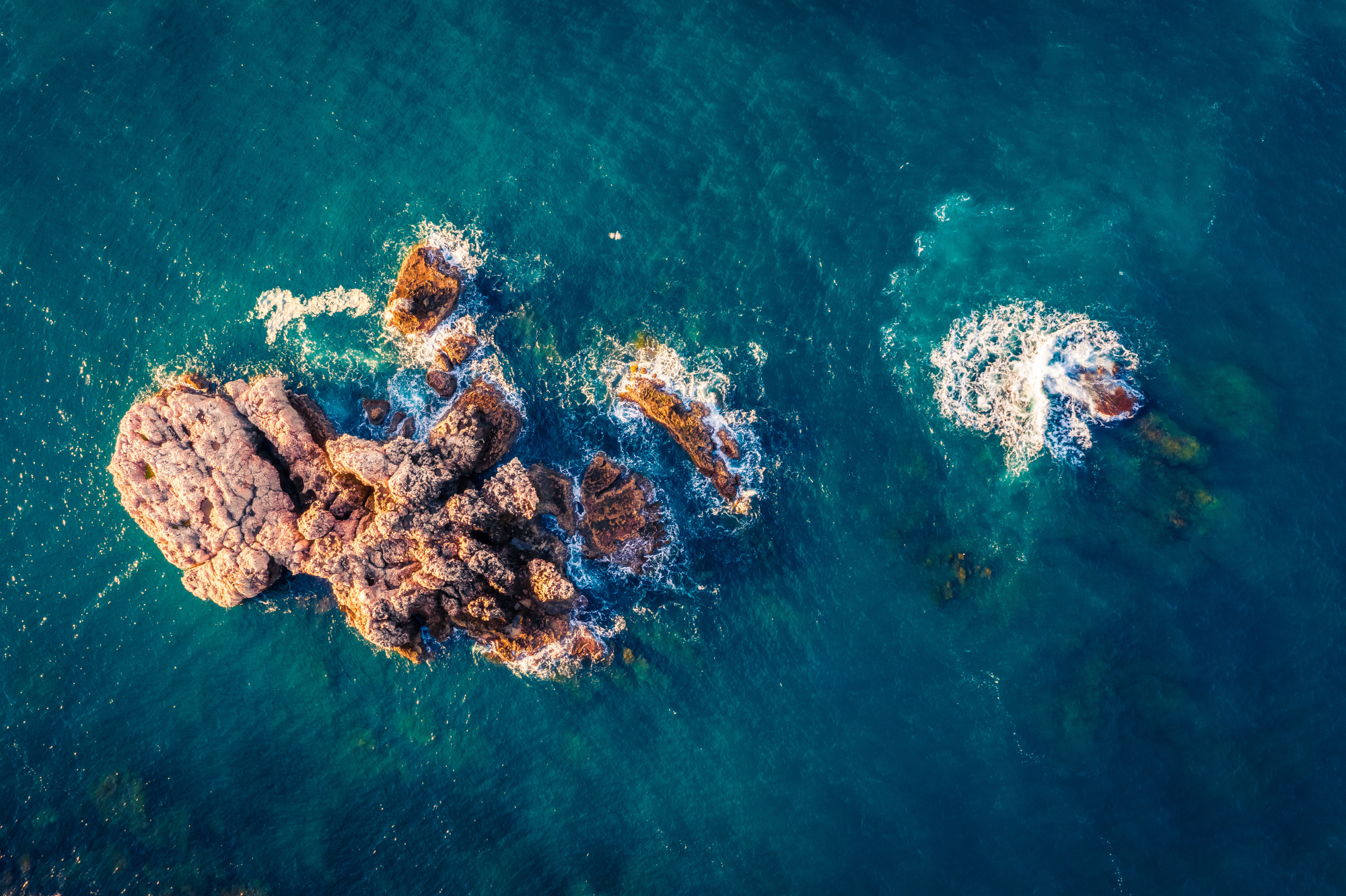
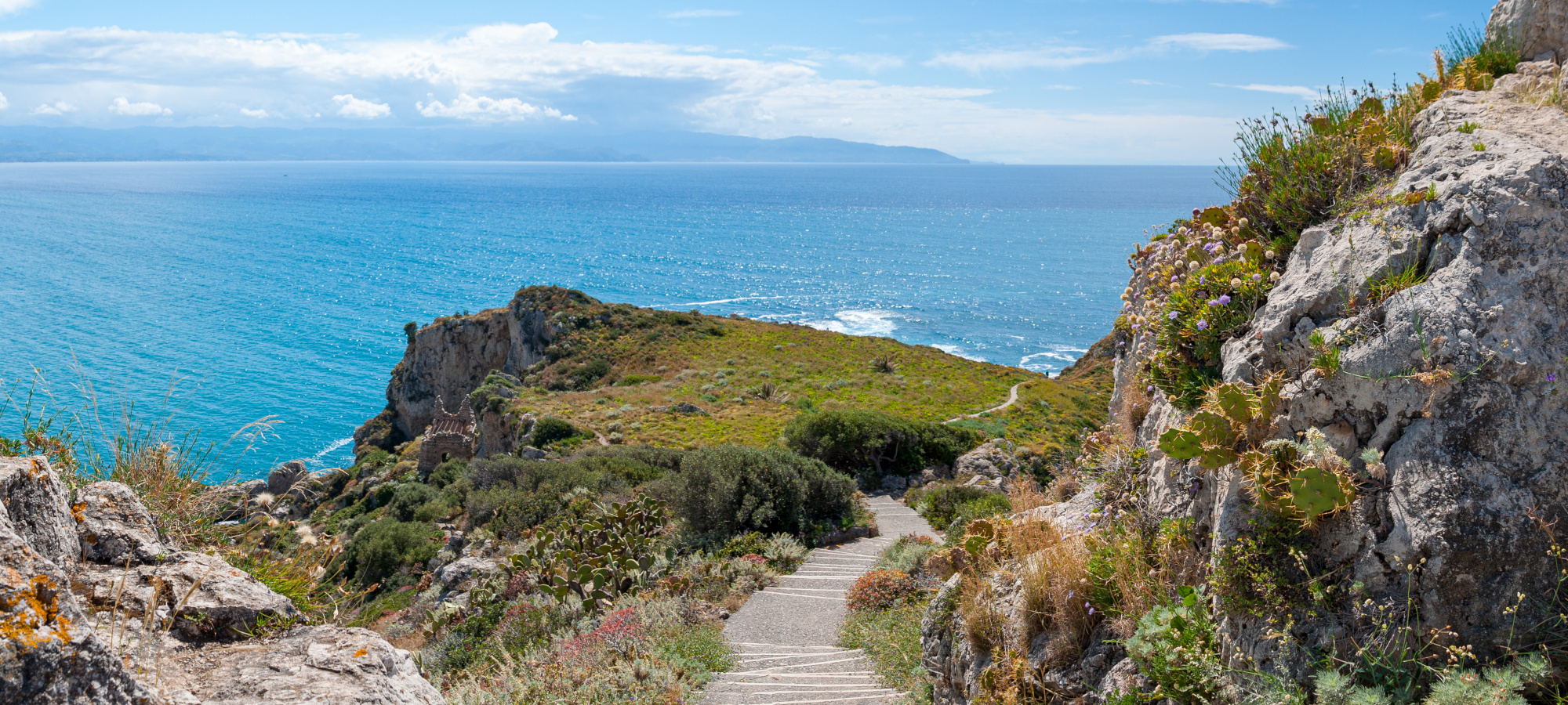
Remote sensing and in situ survey techniques allow to acquire data concerning marine and coastal areas that are useful for constructing spatial and temporal models to be used for different purposes, e.g. environmental monitoring, geo-hazard mapping, activity planning, sustainable zone management. This session aims to collect contributes coming from experts of several areas (geomatics, hydrography, remote sensing, photogrammetry, mapping, GIS, data processing, modelling) and concerning both methodological subjects and concrete applications for topics related to marine and costal area investigation and monitoring. Land survey (based on electronic total station, GNSS, laser scanning), hydrographic survey (using single beam, multibeam, side scan sonar), unmanned survey system, multispectral and hyperspectral image processing, coastline detection, data fusion, 3D model construction, seabed and land representation, GIS applications, thematic map production and further survey and modelling methods will be considered. The experience of research centers and the recent developments in the field of measurement systems and techniques applicable for marine and coastal areas, will be particularly valuable for the aims of this session.
ABOUT THE ORGANIZERS
Claudio Parente is full Professor of Geomatics and responsible of the "Geomatics, Remote sensing and GIS Laboratory", at "Parthenope" University of Naples, Department of Science and Technology. He has a degree in Civil Engineering from University of Naples "Federico II", a Post Graduate Master degree in "Sciences and Engineering of the sea" and PhD in "Geodetic and Topographic Sciences" from Naval University of Naples. His research activities concern different aspects of Geomatics, including Remote Sensing, GIS, Cartography, Digital Terrain Model, hydrographic and land survey. He is the author or co-author of more than 100 publications at national or international level; his works are present in important scientific database, such as SCOPUS and WoS.
Domenica Costantino is associate professor of Geomatics and head of the Geomatics Laboratory of the Magna Grecia Interdepartmental Centre of the Polytechnic of Bari, Taranto Campus.
She has a PhD in "Geodetic and Topographic Sciences" from the "Parthenope" University of Naples in 1999 and since 2004 she is employed at the Polytechnic of Bari first as Researcher and then as Associate Professor. His research fields concern 3D surveying, digital photogrammetry, laser scanning techniques, high resolution satellite imagery for digital cartography and GNSS applications. He is author of about 60 scientific papers indexed on Scopus.
Mauro Lo Brutto is Associate Professor of Geomatics and responsible of the Geomatics Laboratory of the Department of Engineering of the University of Palermo. He holds a PhD in "Geodetic and Topographic Sciences" from "Parthenope" University of Naples in 2001 and since 2003 he works at the University of Palermo first as Researcher and then as Associate Professor. His research interests concern 3D surveying, digital photogrammetry, laser scanning techniques, high resolution satellite imagery for digital mapping and GNSS applications. He is author of several scientific papers published on national and international scientific journals and on the proceedings of national and international congresses.
Andrea Vallario is an expert of Geomatics involved in the research activities of the "Geomatics, Remote sensing and GIS Laboratory", at "Parthenope" University of Naples, Department of Science and Technology. He has a Bachelor degree in "Computer science", a Master degree in "Applied Computer Science" and PhD in "Geomatics, Navigation and Geodesy" from "Parthenope" University of Naples. His research activities concern Geomatics and include Remote Sensing, GIS, image processing, data fusion, 3D surveying and modelling. He is the author or co-author of papers published on national and international scientific journals and on the proceedings of national and international conferences and workshops.