THE ROLE OF SATELLITE REMOTE SENSING IN THE UN DECADE OF OCEAN SCIENCE FOR SUSTAINABLE DEVELOPMENT
ORGANIZED BY
Andrea Buono
Università degli Studi di Napoli Parthenope, Italy

Giuseppe Foti
National Oceanography Centre
Giuseppe Grieco
Consiglio Nazionale delle Ricerche
ABSTRACT
According to the “Agenda 2030” for sustainable development, the United Nations has proclaimed the period 2021-2030 the decade of ocean science. The aim is to support efforts to invert the decline trend of ocean health and to ensure that science can fully support countries in creating improved conditions for sustainable development of the oceans. The marine environment is the largest component of the Earth’s system that stabilizes climate and support life on Earth and human well-being. Nevertheless, the “First World Ocean Assessment” published in 2016 observed that most of the oceans is severely degraded, with changes and losses in the structure, function and benefits from marine systems. Accordingly, to pursue the sustainable development goals related to the ocean ecosystem, specifically goals 7, 12, 13 and 14, tailored strategies and science-informed policy responses to global change are urgently needed.
Within this framework, satellite remote sensing tools provide unique capabilities to monitor and study the marine environment at large space and time scales and to improve our understanding of the ocean processes. Nowadays, a plenty of spaceborne remote sensing sensors operating in a broad range of frequencies of the electromagnetic spectrum is available that allows measuring a wide set of ocean parameters with ever increasing spatial and temporal resolution. This session welcomes original contributions on brand new studies regarding advancements in ocean remote sensing related to recent or upcoming satellite missions and concepts, instrumentation, retrieval algorithms, processing techniques, synergies and applications. The latter include, but are not limited to, the monitoring of both short (e. g., natural hazards as hurricanes and storm surges) and long (e. g., sea level rise, ocean acidification and climate change) timescales. The final aim of this special session is to provide an interdisciplinary forum to discuss the most up-to-date status of ocean remote sensing and to promote collaborations among universities, researchers, environmental organizations and any kind of stakeholder.
Contributions related to advancements in all aspects of ocean remote sensing are welcome, including: physical oceanography, biological oceanography, marine biogeochemistry, atmospheric interactions, space geodesy, cryosphere, hydrology, new mission concepts, new instruments, developing of new added-value ocean products, novel processing techniques in ocean remote sensing including machine-learning approaches, big data, sensor calibration, synergy use of multi-source satellite data with in-situ measurements and satellite data assimilation into forecasting and climate models.
ABOUT THE ORGANIZERS
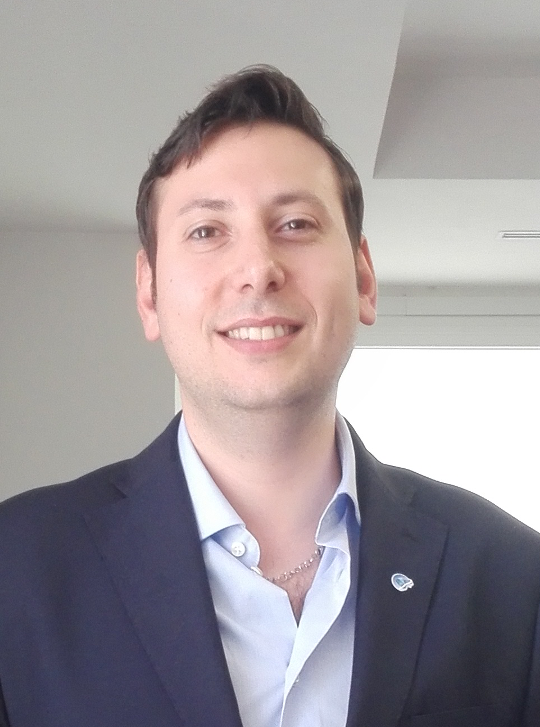
Andrea Buono (Member, IEEE) was born in Naples, Italy, in 1984. He received the B.Sc. and M.Sc. degrees in telecommunication engineering from the Università di Napoli “Parthenope,” Naples, Italy, in 2010 and 2013, respectively, and the Ph.D. degree in information engineering from the Università di Napoli “Parthenope,” in 2017. Since 2018, he has been Assistant Professor with the Università di Napoli “Parthenope.” His main research activities deal with applied electromagnetic, including electromagnetic modeling, polarimetry, microwave remote sensing for Earth observation, development of added-value ocean and coastal area products.
Giuseppe Foti received the Laurea (equivalent to M.Eng.) degree in electronics engineering (magna cum laude) from the University of Catania, Catania, Italy, in 2000, and the M.Sc. degree in oceanography (with Distinction) from the University of Southampton, Southampton, U.K., in 2013. In 2001, he joined the Communication Systems Section, European Space Agency, Noordwijk, The Netherlands, where he was involved in the field of spread-spectrum techniques for packet access in broadband satellite systems. From 2003 to 2010, he was a Patent Examiner with the Principal Directorate of Telecommunications, European Patent Office, Rijswijk, The Netherlands. In 2013, he joined the Satellite Oceanography Section, National Oceanography Centre, Southampton, U.K., where he is currently a Senior Research Scientist. His research interests include remote sensing of the oceans, with special emphasis on techniques using signals of opportunity.
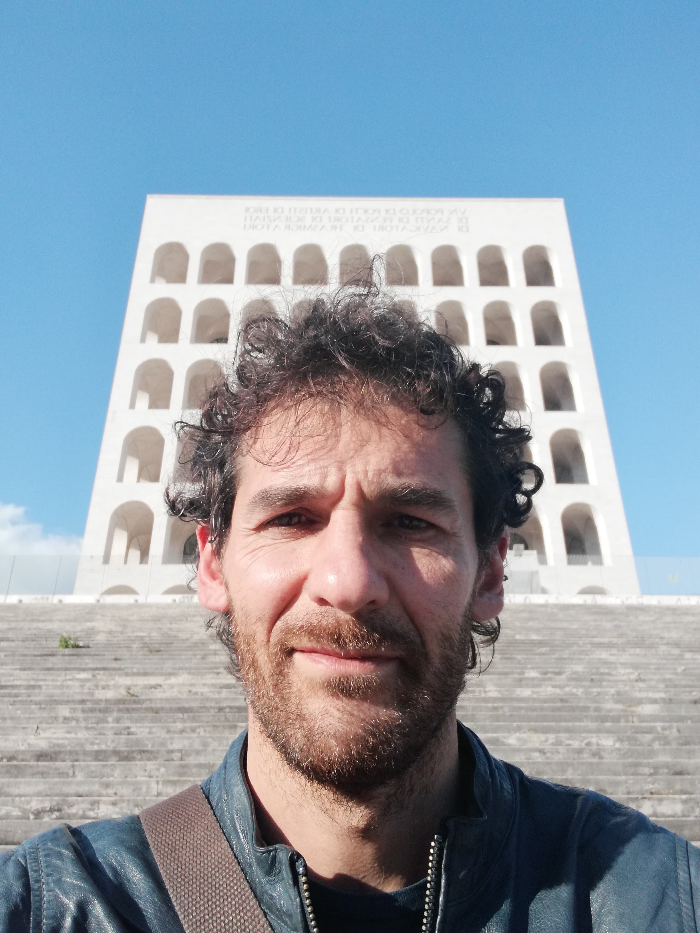
Giuseppe Grieco, is at the Istituto di Scienze Marine of the Consiglio Nazionale delle Ricerche since May 2021. He got his master degree in “Scienze Nautiche – Indirizzo Oceanografico” from the Università degli Studi di Napoli Parthenope and his PhD in Environmental Engineering from the Università degli Studi della Basilicata. Since 2014, his main scientific interests are related to the estimation of the sea state and the wind field from active microwave sensors, namely Synthetic Aperture Radars (SARs), scatterometers and GNSS-Reflectometry. He carried out this activity at the Agenzia Spaziale Italiana (ASI), the Royal Netherlands Meteorological Institute (KNMI) and the Institute of Marine Sciences of the Spanish National Research Council (ICM-CSIC), and now at ISMAR. In the past he was involved in scientific activities aimed at retrieving the thermodynamic state of the atmosphere and some minor and trace gases tropospheric concentration from hyperspectral measurements such as those acquired by the Infrared Atmospheric Sounding Interferometer (IASI) and similar instruments.
