Special Track on Metrology for Marine Geology
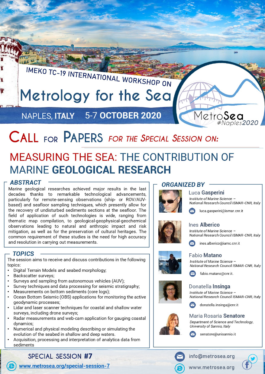
Measuring the Sea: the Contribution of Marine Geological Research
ORGANIZED BY
Luca Gasperini
Institute of Marine Science - National Research Council ISMAR-CNR, Italy
Ines Alberico
Institute of Marine Science - National Research Council ISMAR-CNR, Italy
Fabio Matano
Institute of Marine Science - National Research Council ISMAR-CNR, Italy
Donatella Insinga
Institute of Marine Science - National Research Council ISMAR-CNR, Italy
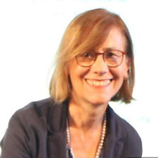
Maria Rosaria Senatore
Department of Science and Technology, University of Sannio, Italy
ABSTRACT
Marine geological researches achieved major results in the last decades thanks to remarkable technological advancements, particularly for remote-sensing observations (ship- or ROV/AUV-based) and seafloor sampling techniques, which presently allow for the recovery of undisturbed sediments sections at the seafloor. The field of application of such technologies is wide, ranging from thematic map compilation, to geological-geophysical-geochemical observations leading to natural and anthropic impact and risk mitigation, as well as for the preservation of cultural heritages. The common requirement of these studies is the need for high accuracy and resolution in carrying out measurements.
TOPICS
The session aims to receive and discuss contributions in the following topics:
- Digital Terrain Models and seabed morphology;
- Backscatter surveys;
- Surveys and sampling from autonomous vehicles (AUV);
- Survey techniques and data processing for seismic stratigraphy;
- Measurements on bottom sediments (core logs);
- Ocean Bottom Seismic (OBS) applications for monitoring the active geodynamic processes;
- Lidar and laser scanner techniques for coastal and shallow water surveys, including drone surveys;
- Radar measurements and web-cam application for gauging coastal dynamics;
- Numerical and physical modeling describing or simulating the evolution of the seabed in shallow and deep waters.
- Acquisition, processing and interpretation of analytica data from sediments
ABOUT THE ORGANIZERS
Luca Gasperini is Senior Scientist at Istituto di Scienze Marine, ISMAR, Italian National Research Council, Bologna (Italy), and Adjunct Professor at University of Bologna (Italy). Main interests include: Geophysical methods; Structural Geology; Seismic Stratigraphy; Submarine Paleoseismology; Marine Technologies.
Ines Alberico has a permanent position of researcher at ISMAR SINCE 2012. She earned a PhD at University of Naples Federico II in "Evaluation and Mitigation of Environmental Risk", discussing a thesis entitled “Volcanic hazard assessment and its implication on territorial management” and since then her interest has been focused on natural hazard assessment and risk reduction.
She was involved in several studies focused on the volcanic hazard and on the evaluation of asset and population exposed to risk. She was also involved in several national project dedicated to the evaluation of hydrogeological hazard scenario assessment and implementation of emergency provincial and municipal plans. Since 2009 she contributed to National projects aiming at assessing historical shoreline variation analysis, coastal erosional hazard, flood hazard due to tsunami events and relative sea level rise. She is author or co-author of 50 papers on ISI journals and of contributions to 7 books. She has participated to more than 60 national and international congresses and workshops.
Fabio Matano is a senior geologist, and researcher at the Italian National Research Council (CNR). He started its research activity in 1990 and is working at the Institute for Marine Science (ISMAR) of Naples since 2012. His research interests cross a wide range of geological sub-disciplines, such as geological mapping, stratigraphy, landslide hazards, geomorphology, coastal studies, remote sensing and GIS, and is author of 70 scientific papers on peer reviewed international journals and several geological maps. He is review editor for Frontiers in Earth Science journal and has been guest editor for the Journal of Coastal Conservation and the Remote Sensing journals.
He has worked for the national project of geological cartography (CARG), the Landslide Risk and Hazard Plan (PSAI) for Campanian Basin authorities, and some Remote Sensing and urban geology projects for Environment Ministry and Campania Region (TELLUS, GECAI, SLAM). He is member of the Italian Association of Geomorphologist (AIGEO) in the Coastal study section and of the Geology and Information Technology (GIT) group of the Italian Geological Society.
Donatella D. Insinga has a permanent position of researcher at ISMAR (former IAMC) since 2011. She earned a PhD at University of Naples Federico II in 2004 and since then her interest has been focused on tephra deposits as a tool to date Mediterranean sequences. She has developed competences in drilling operations on board of oceanographic vessels during more than 15 cruises and she has acquired skills in sampling procedures, processing and interpretation of tephrostratigraphic data. Gained competences include also radiometric dating (40Ar/39Ar) of volcanic rocks. She has been involved in several national projects dedicated to the geological mapping of both marine and terrestrial areas, geo-marine hazard and paleoclimate reconstructions. Her research interests include: event stratigraphy, high- and ultrahigh-resolution (at centennial scale) integrated studies to synchronize successions among depositional basins and between marine and continental basins, tephrochronology as a tool for the definition of the new Geological Time Scale, chonostratigraphic reconstruction of Campania Plain volcanism through the 40Ar/39Ar dating method and ash dispersal hazard. She is author or co-author of 40 papers on ISI journals and of more than 50 contributions to national and international congresses and workshops.
Maria Rosaria Senatore is Associate professor at the University of Sannio in Benevento, where she is teaches Geology and Stratigraphic Geology. Her skills include the Marine Geology with emphasis to the stratigraphy of the subbottom along to the Tyrrhenian continental margin of the southern Italy and of the Gulf of Taranto. She studied: - the recent geological evolution of the continental shelf of the Salerno, Pozzuoli, Gaeta and Taranto gulfs, by means of seismic stratigraphy, physical stratigraphy and sedimentology of cores; - the environmental changes in relation with high and very high frequency climatic changes; the deep sea turbiditic systems. She has been: - Director of the Geological field work of the 1: 50.000 geological sheets Rotondella, Policoro e Foce del Sinni – marine sectors; this activity was carried out in the National Project Car.G.; - Scientific coordinator of the University of Sannio unit in the MAGIC Project (Marine Geohazard along the Italian Coasts) of the National Civil Defence; - Member of the National Technical and Scientific Committee of the MAGIC Project.
Her expertise also include the geological evolution of the coastal plains during the Pleistocene – Holocene time: - the geological evolution of the Sele, Sarno rivers and of Metaponto plain by means of physical and sequence statigraphy carried out on outcrops and boreholes; - the facies analysis and facies associations; - the chronostratigraphic correlations; - the environmental and climatic high frequency changes. She had the Academic award for the Earth Science in 1989 by the “Accademia di Scienze Fisiche e Matematiche della Società Nazionale di Scienze Lettere ed Arti in Napoli”. Maria Rosaria Senatore is author or co-author of several ISI and no ISI Journals as well as of national and international conference proceedings.
